
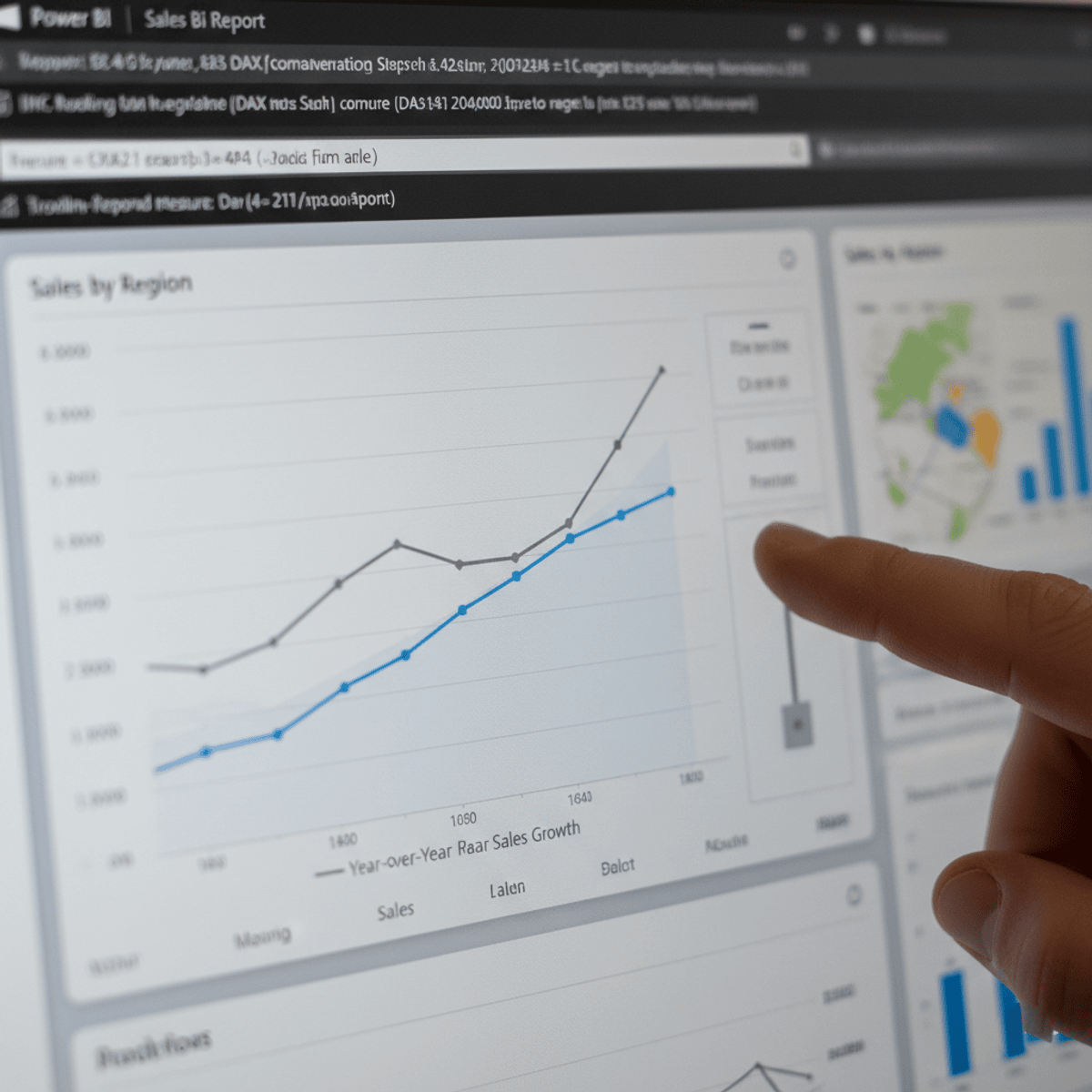
Using Data for Geographic Mapping and Forecasting in SAS Visual Analytics
Key Takeaways
Using SAS Data Studio and SAS Visual Analytics for geographic mapping and forecasting
Original Description
In this course, you learn about the data structure needed for geographic mapping and forecasting, how to use SAS Data Studio to restructure data for analysis, and how to create geo maps and forecasts in SAS Visual Analytics.
Watch on External: Coursera ↗
(saves to browser)
Sign in to unlock AI tutor explanation · ⚡30
More on: Data Literacy
View skill →


Related Reads
📰
📰
📰
📰
Why I Left China as a Data Analyst
Hackernoon
The Presence Premium: Office Mandates Need a 10% Productivity Miracle to Break Even.
Medium · Data Science
From Python Basics to Data Analysis: My 4-Week Internship Journey at Sparks To Ideas
Medium · Data Science
From Python Basics to Data Analysis: My 4-Week Internship Journey at Sparks To Ideas
Medium · Python
🎓
Tutor Explanation