Interactive, Geospatial & Narrative Data Visualization
Key Takeaways
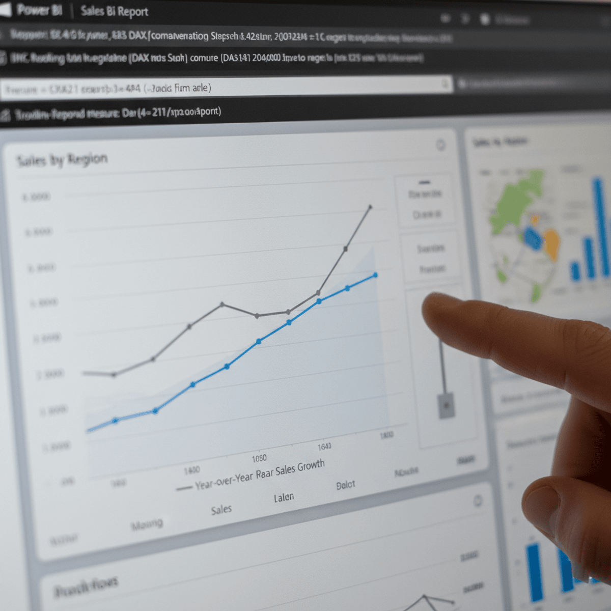
Elevate data storytelling skills with interactive dashboards, geospatial analysis, and narrative visualization using Python and Tableau
Original Description
Elevate your data storytelling skills with "Interactive, Geospatial & Narrative Data Visualization" . This comprehensive program covers the essentials of visualizing data through interactive dashboards, geospatial analysis, and narrative visualization using Python and Tableau. Learn to design and implement interactive visualizations that improve user engagement and make complex data more accessible. Explore geospatial data to create compelling maps and understand spatial relationships. Dive into narrative visualization to craft engaging data stories that convey insights effectively.
Master tools like Tableau and Python libraries (Matplotlib, Seaborn, Folium) to create various types of plots and advanced visualizations including maps with markers, choropleth maps, and network graphs. Engage in practical assignments and real-world projects that challenge you to develop, analyze, and optimize data visualizations.
By the end of this course, you will have the expertise to build stunning visualizations, interpret complex datasets, and tell impactful data stories.
Watch on External: Coursera ↗
(saves to browser)
Sign in to unlock AI tutor explanation · ⚡30
More on: Data Literacy
View skill →


Related AI Lessons
⚡
⚡
⚡
⚡
Müşteri Değerini Anlamak: RFM, CLTV ve Tahmine Dayalı CRM Analitiği
Medium · Machine Learning
Müşteri Değerini Anlamak: RFM, CLTV ve Tahmine Dayalı CRM Analitiği
Medium · Data Science
Müşteri Değerini Anlamak: RFM, CLTV ve Tahmine Dayalı CRM Analitiği
Medium · Python
Surviving the Data Science Behavioral Interview
Towards Data Science
🎓
Tutor Explanation